See the flood before it arrives.
FloodSight simulates rainfall-driven inundation across at-risk regions — mapping depth, extent, and exposure to hospitals and communities in minutes, not days.
 Built by SORA Technology · deployed with agencies across Sub-Saharan Africa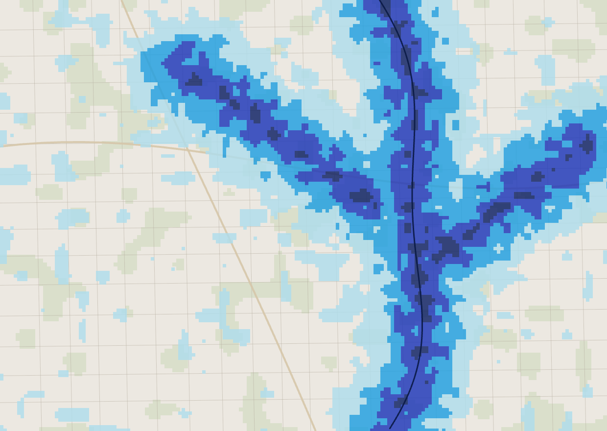
From rainfall to response in four steps
No GIS expertise required. Regions come pre-loaded with terrain, drainage and critical-facility data.
Select your region
Choose a modeled catchment. Terrain, drainage and facility data are already loaded.
Define the storm
Set precipitation, duration and soil curve number for the scenario you must plan for.
Run the simulation
The hydrological engine computes inundation depth and extent across the landscape.
Act on the results
Read depth maps and facility exposure, then export for briefings and coordination.
A full flood-risk workflow, in one place
Physically-grounded hydrology, decision-ready outputs, and the exports your teams already work with.
Hydrological simulation
SCS curve-number runoff routed over a real DEM — not a static hazard layer.
Depth & extent mapping
A four-class depth scale from nuisance to extreme, at sub-meter vertical resolution.
Critical-facility exposure
Hospitals and key assets scored by flood risk, so you know what's in harm's way.
Scenario comparison
Place two completed runs side by side to see how extent and depth shift.
Terrain & DEM analysis
Inspect elevation, drainage and catchment structure behind every result.
Standards-ready exports
PNG, georeferenced GeoTIFF and a formatted PDF report for every simulation.
Where FloodSight makes the difference
Whether you are writing a preparedness plan, standing up an early-warning desk, or protecting critical infrastructure, FloodSight turns scenarios into evidence.
Preparedness & planning
Stress-test design storms and contingency plans against physically-modeled inundation.
Early warning & response
Pre-compute scenarios so response desks can act the moment a storm is forecast.
Infrastructure & health resilience
Identify exposed hospitals, roads and communities before the water reaches them.
Live regions, expanding fast
Each region ships with a validated DEM, drainage network and critical-facility layer. Need a region that isn't listed? It can be onboarded.
Northern Ghana
Xai-Xai
Dar es Salaam
Nairobi
Questions, answered
Bring flood foresight to your region.
Request a walkthrough with our team. Access is provisioned per organization — we'll tailor the demo to the catchments you care about.